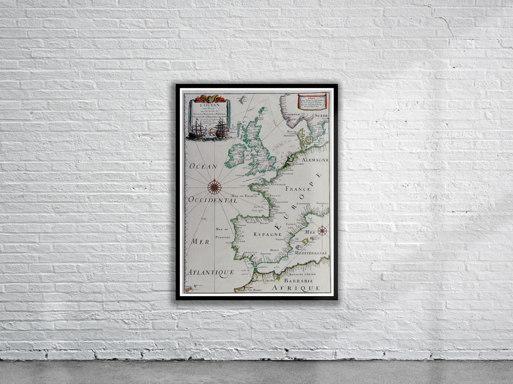
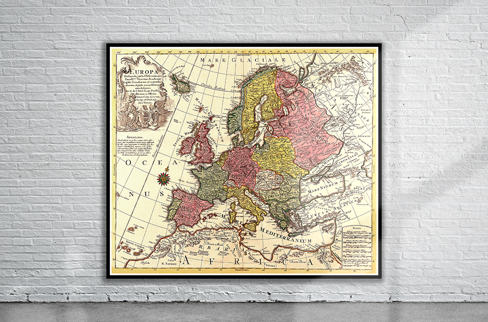
Carl Allard’s 1700 Map of Europe showing all the major political and geographical divisions. Stunning Full Colour Reproduction using the Most Advanced Technology Available Printed on Museum Matte Archival Paper 310gm Unique Conversation Piece for your Home or Business Frame not included