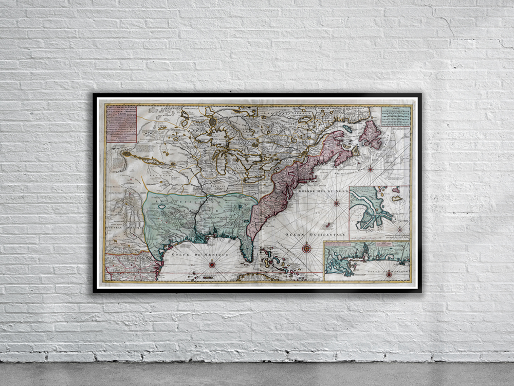
Seutter and Lotter’s maritime map of Canada showing North-Eastern Canada, including Nova Scotia, Labrador and Newfoundland. The map shows the St. Lawrence River running nearly north-south. At top left is a cartouche featuring Indian chiefs, explorers, mapmakers, a fleet of ships, fishermen and wildlife. Stunning Full Colour Reproduction using the Most Advanced Technology Available Printed on Museum Matte Archival Paper 310gm Unique Conversation Piece for your Home or Business Frame not included