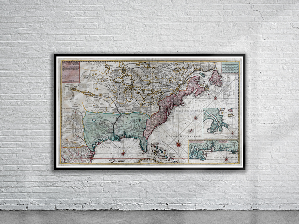
Van Keulen’s 1720 Map of New France which shows French Louisiana and Texas. The insets on the bottom right depict a portion of the Gulf Coast and the mouth of the Mississippi River. Stunning Full Colour Reproduction using the Most Advanced Technology Available Printed on Museum Matte Archival Paper 310gm Unique Conversation Piece for your Home or Business Frame not included