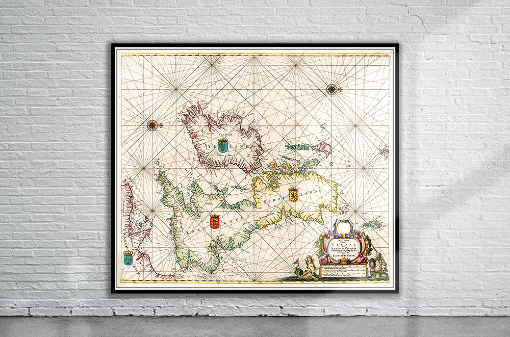
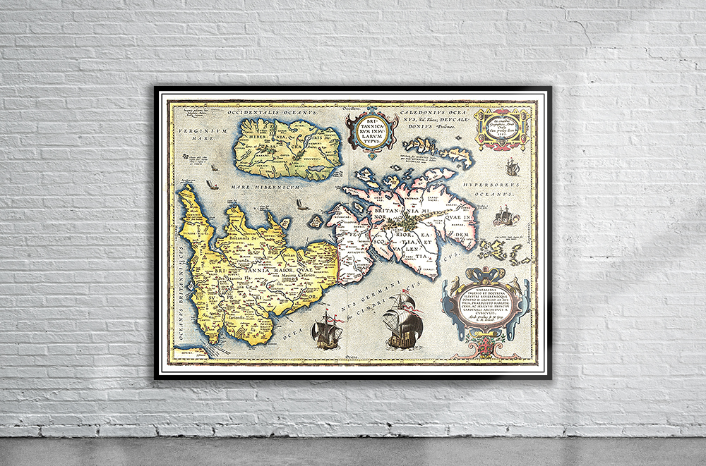
Pieter Goos’ Seas Chart of the British Isles from 1669. A rare and striking map, centred on the Isle of Man, and oriented with west to the top. Stunning Full Colour Reproduction using the Most Advanced Technology Available Printed on Museum Matte Archival Paper 310gm Unique Conversation Piece for your Home or Business Frame not included